CALIFORNIA'S "LOST COAST"
|
Europeans settled early in this area to extract lumber, tanbark and even
petroleum. The first oil well in
California, in the community of Petrolia, began producing in June 1865. Inevitably the indigenous population, the Mattole, were pushed out and their culture
and language faded into history.
We returned in May 2010 to visit one of the most populous communities on
the Lost Coast, Shelter Cove, CA. While it is only a 24 mile side trip off
of US 101 at Garberville, CA, we wisely allowed over an hour to traverse the twisting and
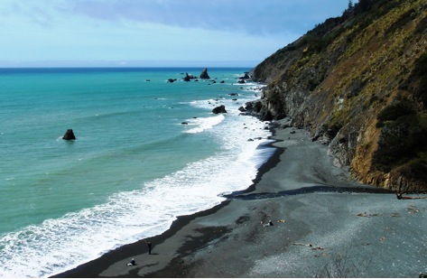
winding road. Rocky, treacherous King Range mountains isolate this area from mainland California which is low
enough to be studded with Tsunami Hazard Zone warning signs. We like this one, which transcends all
language barriers.
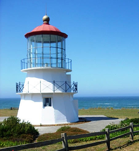
This lighthouse, situated in Mal Coombs
Park, was originally located at Cape Mendocino, further north along the Lost
Coast.
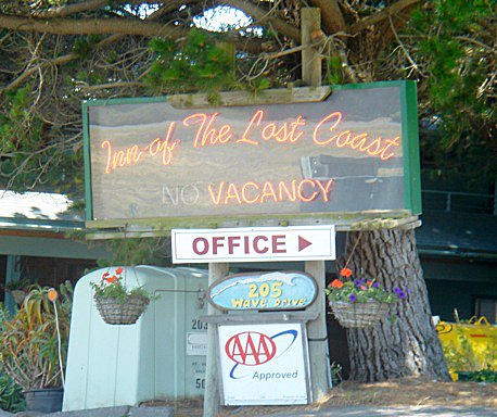
While the permanent population count at Shelter Cove is only 693, there
are several lodgings available for visitors who want to get away from it all.
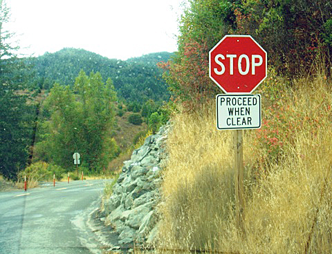
The road is not built for speed. A stop sign without an intersection is
a rare sight.
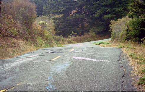
This road surface deters some visitors.
The road then drops precipitously through forests and grassy hills
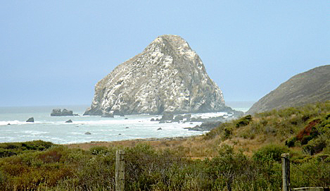
to meet the Pacific Ocean at Cape
Mendocino and 323 foot Sugarloaf Rock, a huge offshore stack marking the
westernmost point on the Pacific Coast.
There are no campsites, restaurants, resorts or shops here, only
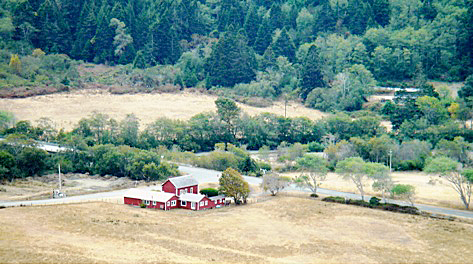
isolated farms and ranches. When we
stopped on the side of Mattole Road to photograph this quaint farm house, a shotgun blast urged us not to linger.
The lack of signs of human habitation—a unique experience on a California
road—can be rather unsettling.
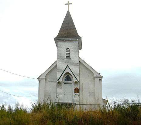
Church at the tiny hamlet of Petrolia.
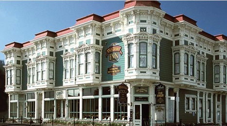
Great to get back to the comforts of Ferndale’s Victorian Inn after a
day in the wilderness!
|
|
